| |
 |
|
|
|
|
|
|


|
|
| 25/07/2026 20:32:22 | NOORDERZON | !AIVDM,1,1,,A,3545=P5000OqahrM6ns;IDJd0DpJ,0*3C
|
| 25/07/2026 20:27:30 | ARC INDEPENDENCE | !AIVDM,1,1,,A,1536F400igOqk>2M6NoU2T2t26Qd,0*1C
|
| 25/07/2026 20:21:50 | SVITZER MERCURIUS | !AIVDM,1,1,,A,33MAh9@Oi6wqUhPM7UgMnh5V01>0,0*2F
|
| 25/07/2026 20:20:15 | RED EAGLE | !AIVDM,1,1,,A,13M@D7@2ipOq`StM7?>t5ajN00SN,0*2A
|
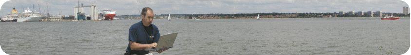
This page only shows vessels North of the Hamble, so the IoW ferries will disappear from view
(range of my aerial) when they pass the refinery heading South. We have recorded 12,905 unique
vessels since we started recording in June 2015.  Red Jet Hi-Speed (Red Funnel) Red Jet Hi-Speed (Red Funnel)
RED JET 6 Seen heading North West (324°) doing 33.8 knots an hour ago  
RED JET 7 Seen heading South East (135°) doing 33.3 knots 3 hours ago
Passenger / Vehicle Ferry (Red Funnel)
RED EAGLE Seen heading North West (309°) doing 12 knots 20 minutes ago
RED FALCON Seen heading South East (135°) doing 12.7 knots an hour ago
RED OSPREY Seen heading North West (320°) doing 12.4 knots an hour ago
Other large (>200m) vessels in port (North to South)
Top 5 Fastest Vessels
MJOLNER (9m pleasure craft) 72.4Kts
- NorwayLUNA OF COWES (7m pleasure craft) 46.1Kts
- United Kingdom of Great Britain and Northern IrelandRED JET 6 (40m high speed craft) 40.2Kts
- United Kingdom of Great Britain and Northern IrelandABP SWIFT (0pilot vessel) 39.8Kts
- United Kingdom of Great Britain and Northern IrelandRED JET 7 (40m ) 36.9Kts
- United Kingdom of Great Britain and Northern Ireland- Tracking 7 vessels in the last hour (Debug: /10)
|
|

 Home
Home Local Ferries